
On Map 12 heading southbound, there is some flooding just before the Maple St. Parking access point between miles 0.8 – 1.o (see section guide 12 for mileage). This area may still be passable on foot.
Heading southbound, the turnoff from Scotland Rd at mile 2.7 (photo 1) until mile 3.3 (photo 2) is heavily flooded. This section of trail is within the Hockamock Swamp WMA between Point C and Point D on the map and section guide.
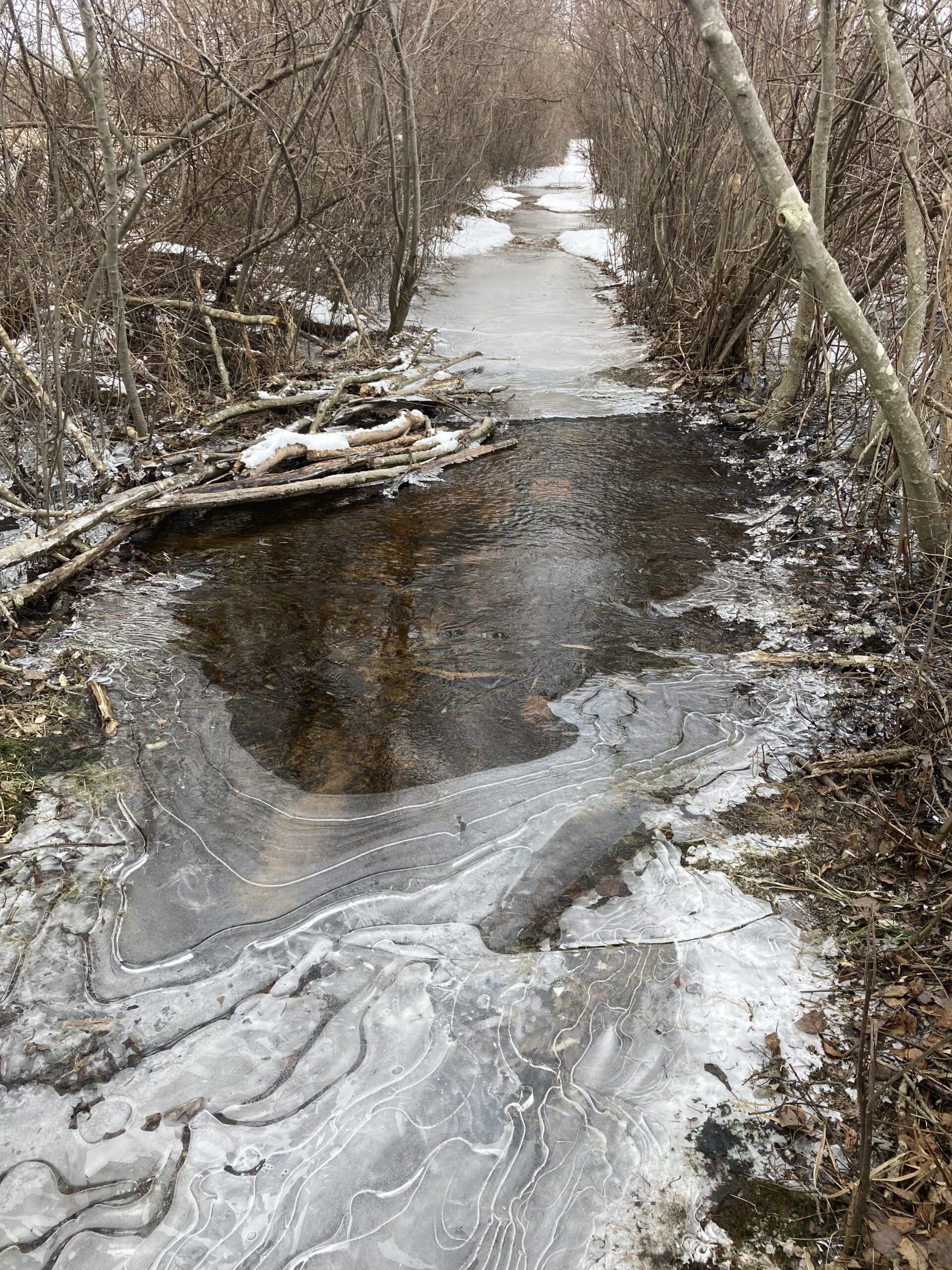
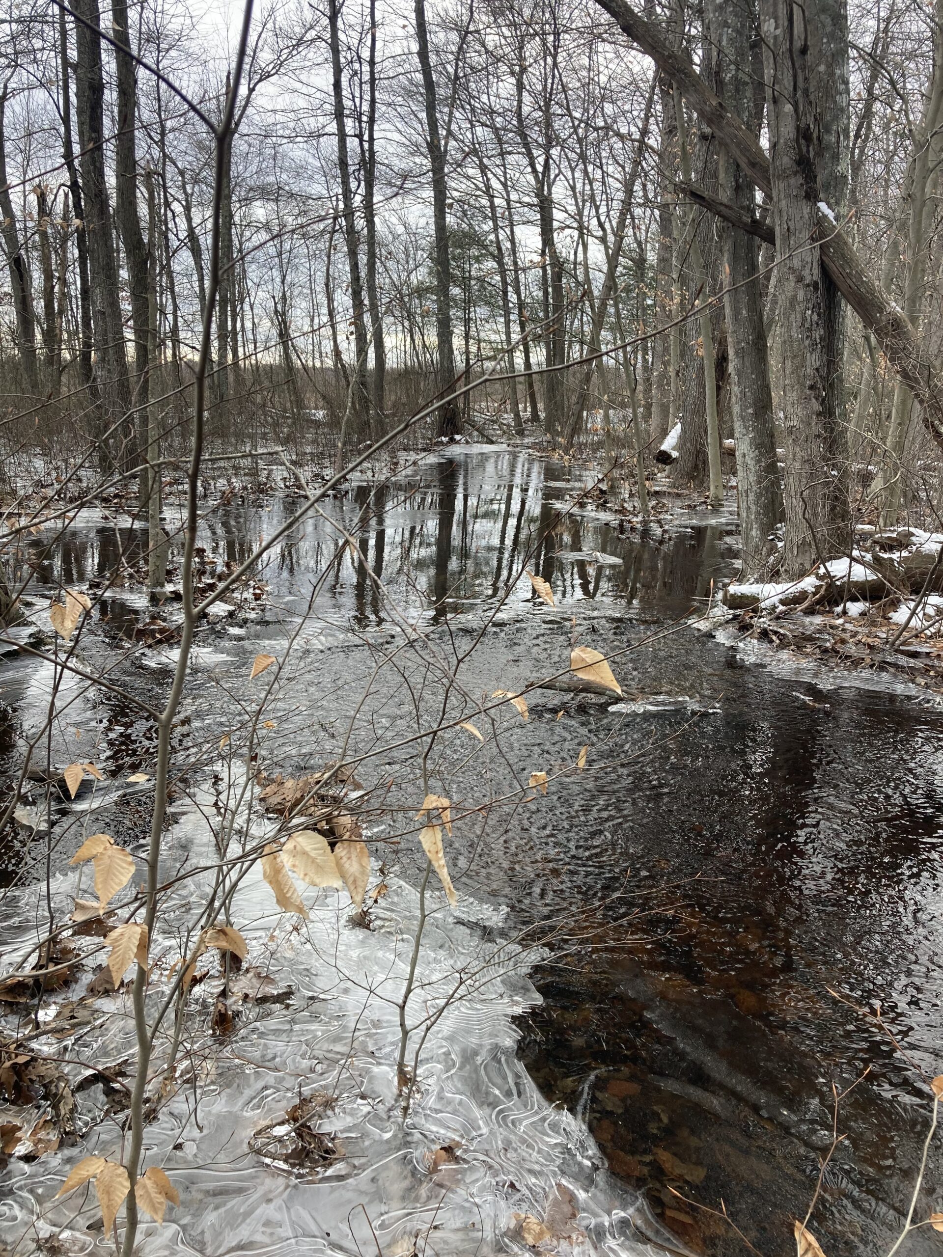
Please avoid these sections of trail until further notice.